
Map Skills Lesson for 2nd Grade: Map a Train Route Along the Coast
Over two 45-minute sessions, children hear Rally Takes the Train read aloud and map its real coastal route with a key and compass rose. On Day 2 they read a North Shore Scenic Railroad guide passage and photo captions, put a lakeside route in order and write a claim about how railroads connect places.
- Grade
- 2nd Grade
- Subjects
- Social studies (geography), Map skills
- Time
- Two sessions: 45 and 45 minutes
- Structure
- Inquiry lesson over two days (C3 Inquiry Design Model)
- Prep
- 20 minutes: label the classroom walls N, S, E and W (check with a phone compass), draw a large rectangle with N at the top on chart paper, preview the North Shore Scenic Railroad guide and find the three photo captions you will read, and copy My Route Map (one per child), North Shore Route (one per pair) and Map Check and Claim (one per child)
- Grouping
- Day 1: whole class on the carpet, then individual maps at tables. Day 2: partners trade maps and sequence the route, then each child writes a claim
- Book
- Whole book, read aloud
- C3 D2.Geo.1.K-2
- C3 D2.Geo.2.K-2
 Need the book? Get the paperback on Amazon (opens in a new tab) or earn a free classroom copy.
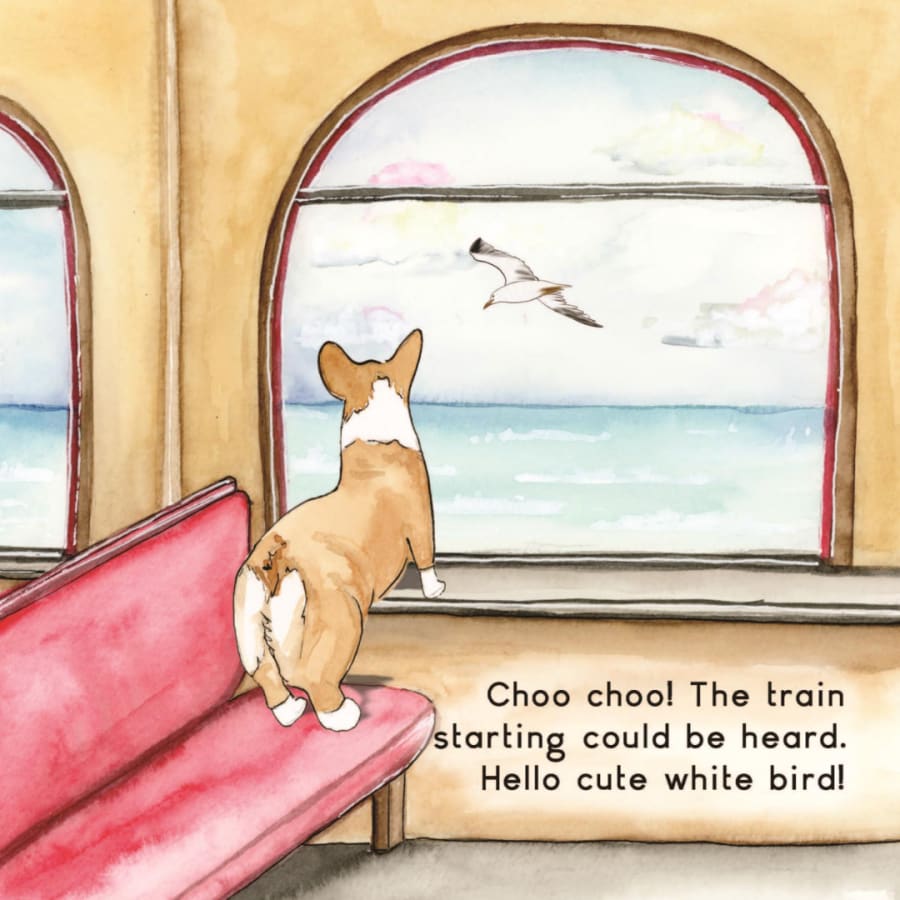
Days 1-2 of the 2nd Grade train unit
Builds on: This is where the unit starts. Day 1 holds the only full read-aloud of Rally Takes the Train, and the route children map becomes the reference point for the rest of the unit.
Leads to: Days 3-4 (2A): children read a second museum guide closely and learn how its headings, captions and fact box help readers find facts.
Learning objective
Students construct a route map of a familiar story trip with a title, symbols, a map key and a compass rose; use cardinal directions to describe where places are along the route; and use a museum guide passage and photo captions to describe how a real railroad follows a lake shore and connects places, stating a claim with evidence from both sources.
I can make a map with a key and a compass rose, and use north, south, east and west to describe a train route.
Vocabulary to teach
Materials
- Rally Takes the Train by Kelsey Lizee Cecil: get the paperback on Amazon (opens in a new tab) or earn a free classroom copy
- The North Shore Scenic Railroad guide at https://www.rallytakesthetrain.com/museums/north-shore-scenic-railroad-duluth-minnesota on a screen, with the route passage and photo captions marked (or find a verified museum near your school in the field trip planner (rallytakesthetrain.com/lessons/train-museum-field-trips))
- Chart paper: the compelling question on one sheet, a blank class map rectangle with N at the top on another
- Sticky notes labeled N, S, E and W for the classroom walls
- My Route Map printable, one per child (Day 1)
- North Shore Route printable, one per pair (Day 2)
- Map Check and Claim printable, one per child (Day 2)
- Crayons, including blue and green
Before you teach
- Put the N, S, E and W sticky notes on the real walls before Day 1. Children grasp a compass rose much faster when north on the map matches a wall they can point to.
- Read the North Shore guide yourself and mark the route passage plus three captions: Right along Lake Superior, Into the north woods, and DM&IR 193 at Two Harbors. It is written for adults, so you will paraphrase a few words.
- Keep the Day 1 maps in a folder. Day 2 opens with partners reading each other's maps, so every child needs theirs back on the table in the first minute.
- Leave the compelling question chart up for both days and add evidence to it as you go. On Day 2 children will copy from it.
Lesson plan
Inquiry lesson over two days (C3 Inquiry Design Model). Geography standards ask children to build maps and use sources to describe places, so the lesson runs as a small inquiry: one compelling question, a story and a museum guide as featured sources, short map tasks along the way and a claim with evidence at the end.
Using the book: Day 1 holds the unit's one full read-aloud (about 5 minutes). Children listen for the places Rally passes, in order, because those places become the stops on their route map.
On Day 2 the class reads one short passage and three photo captions from this guide as the second featured source. Or find a verified museum near your school in the field trip planner.
Day 1 45 minutes
- Write the compelling question at the top of a chart and leave room underneath for evidence over two days.
- Ask two or three children to name a trip they take between two places (home to a cousin's house, school to the library). Record each one as from ___ to ___.
- Tell children they will answer the question with two sources: a story today and a real railroad's museum guide tomorrow.
- Read Rally Takes the Train aloud straight through once (about 5 minutes). Children hold up one finger each time the train reaches a new place.
- Go back to four pages for 30 seconds each. Page 3: the trip starts at a station with palm trees. Page 8: the ocean is right beside the tracks. Page 13: the tracks curve along cliffs after the tunnel. Page 16: the last station, where his people wait.
- List the places in order on the board with the class: first station, ocean view, tunnel, railroad crossing (page 14), last station.
- Share the real ride behind the story: it starts in San Diego, California, runs north along the ocean and ends in Orange County, California.
Look for: Children who list events (the pretzel, the conductor) instead of places. Sort them out together: could you see it from a helicopter?
- Teach map key, symbol, compass rose, route and shoreline as you use each one. Orange County is north of San Diego, so draw the first station near the bottom of the class map and the last station near the top.
- Color the left (west) side blue for the ocean and draw the track as a line with cross ties. Children decide where the tunnel and the crossing go in story order and pick a symbol for each; add all four symbols to the key.
- Draw a compass rose together. Everyone stands: which way does the train travel from the first station to the last (north)? Facing north on the train, which side is the ocean on? Children point to the west wall, then head to tables.
- Pass out My Route Map and crayons (2 minutes).
- Each child places the five lettered stops in order from S near the bottom to G near the top, connects them with a track symbol and colors the ocean on the west side.
- Children draw a symbol at each stop, build a key that explains every symbol, add a compass rose and write a title. The test for a finished map: someone who has never read the book could follow the route using only the key and compass rose.
- Collect the maps in a folder for Day 2 (1 minute).
Look for: Symbols that appear on the map but not in the key. Ask the child to read the map to you using only the key.
Day 2 45 minutes
- Hand back the Day 1 maps and the Map Check and Claim page. Partners trade maps.
- Each child answers the three map questions at the top of the page using the partner's map, then returns it and names one thing that made the map easy to read.
- Read aloud from the guide: the North Shore Scenic Railroad runs on a 28-mile stretch of track between Duluth and Two Harbors, Minnesota. Trains leave the historic Depot downtown, pass Canal Park, run right along the Lake Superior shoreline, wind through the wooded Congdon neighborhood and climb into the north woods, crossing streams on bridges more than 50 feet high.
- Show the photos and read two captions: Right along Lake Superior (the railroad hugs the shoreline on its way out of downtown Duluth) and Into the north woods (a train crosses a trestle through autumn forest). Ask what the photos show that the words did not.
- Partners complete the North Shore Route page (8 minutes): six places in order on the route line, then a symbol for water, bridge, woods and town. Reread the passage once while they check their order.
- Read from the guide: the track was first built in 1886, and for more than a century it carried supplies, materials and workers north to growing towns. Then read the caption for DM&IR 193 at Two Harbors, the railroad that once hauled iron ore to these harbors.
- Ask what moved between places on this railroad and who needed it. Add the answers to the evidence chart under the compelling question.
- Compare the two routes on a quick T-chart. Alike: both follow the edge of big water. Different: an ocean beside Rally's train, a lake beside the North Shore train, which also runs through woods and over tall bridges.
- Children answer the compelling question on the Map Check and Claim page: a claim, one piece of evidence from Rally's trip, one from the North Shore guide, and a sentence that explains how the evidence fits.
- Point children to the evidence chart for spelling and ideas. Confer with three or four children, starting with those whose maps showed confusion about direction.
Look for: Evidence that names a place or a thing that moved, not just I like trains.
- Two or three children read their claims. Ask listeners which source each piece of evidence came from.
- Close with the rail safety rule: tracks often run beside beaches, parks and paths, so stay off tracks, cross only at marked crossings, and always stop, look and listen.
Short on time? If each day is 10 to 15 minutes shorter, map the route together on Day 1 and have children finish My Route Map at a center later in the week. On Day 2, skip the partner map check, read only the route passage and one caption, and keep the full 13 minutes for the claim with evidence.
Finished early? Children draw a second map of a route they know, such as classroom to library, with a key, a compass rose and at least four symbols.
What to listen for
| If children say or do this | Try this |
|---|---|
| "North is up, like the ceiling." | Lay a map flat on the floor and turn it until its N points at the north wall. North is a direction along the ground; it sits at the top of most maps by agreement. |
| A child's map shows the pretzel, the conductor and Rally's smile but no route. | Ask, could a helicopter pilot see that from the sky? Maps show places and paths; story events belong in the story. |
| "The lake is an ocean." | Both are big water. A lake has land all the way around it. Show Lake Superior on a United States map, then the Pacific Ocean on the west coast. |
Safety: Tracks often run beside beaches, parks and paths, like the North Shore line along Lake Superior. Teach the rail safety rule: stay off tracks, cross only at marked crossings, and always stop, look and listen.
Differentiation
Extra support
Give children a pre-drawn key with the track, water and station symbols filled in, so they add only the tunnel and crossing. Lightly mark S near the bottom and G near the top of the map box. For the claim, offer the frame: A railroad connects places by ___. In the story, ___. In the guide, ___.
Multilingual learners
Teach north, south, east and west with a movement game: everyone faces the labeled walls and points as you call each direction. Post frames: The ___ is ___ of the ___. This symbol means ___. Partners may plan the claim in the home language before writing in English. Key language use: Inform.
Extension
Children add a third piece of evidence from another verified museum guide's route, or write two directions a visitor could follow on their map using north, south, east and west.
Check for understanding
Success criterion: Constructs a route map with a title, symbols, a complete key and a labeled compass rose; uses cardinal directions correctly; and writes a claim about how a railroad connects places with one piece of evidence from each source.
| Level | What you see |
|---|---|
| 3Meets (level 3) | The map shows every stop in order with symbols that all appear in the key, a correct compass rose and a title; the claim uses evidence from both the story and the guide. |
| 2Approaching (level 2) | The map has a route and some symbols, but the key is missing symbols or the compass rose is mislabeled; the claim uses evidence from one source only. |
| 1Beginning (level 1) | Draws pictures of the trip without a route, key or compass rose, and states an idea about trains without evidence from either source. |
Family connection
Send home the half-page note in the printables. The text is below so you can paste it into a newsletter or app.
English
Ask your child which direction Rally's train traveled. This week we read Rally Takes the Train and mapped the real ride behind it, which runs north along the ocean in California. Then we read a museum guide about a railroad in Minnesota that follows the shore of Lake Superior and once carried supplies and workers to growing towns. Your child made a map with a key and a compass rose. At home, take 5 minutes to draw your street together and invent symbols for three things. Free train museum guides are at rallytakesthetrain.com/train-museums.
Español
Pregúntele a su hijo o hija hacia dónde viajó el tren de Rally. Esta semana leímos Rally Takes the Train e hicimos un mapa del viaje real en el que se basa, que va hacia el norte junto al océano en California. Después leímos la guía de un museo sobre un ferrocarril de Minnesota que sigue la orilla del lago Superior y que llevaba provisiones y trabajadores a pueblos que crecían. Su hijo o hija hizo un mapa con leyenda y rosa de los vientos. En casa, dibujen su calle en 5 minutos e inventen símbolos para tres cosas. Hay guías gratuitas de museos de trenes en rallytakesthetrain.com/train-museums.
Teacher tips
- Check keys, not drawings. A beautiful map with a symbol missing from the key is not finished yet; ask whether a stranger could tell what each mark means.
- Some children will draw the ocean on the right because that is where it sits in a picture they remember. Turn the map so its N faces the north wall and ask them to point to the water from their seat.
Standards alignment
| Standard | Text |
|---|---|
| C3 D2.Geo.1.K-2 (opens in a new tab) | Construct maps, graphs, and other representations of familiar places. |
| C3 D2.Geo.2.K-2 (opens in a new tab) | Use maps, graphs, photographs, and other representations to describe places and the relationships and interactions that shape them. |
Check codes against your state's version of these standards. How we build and review lessons.
Keep exploring
Choose a museum guide with a train ride. Use the words and photos to draw a simple map of the ride with a key and a compass rose. What places does this railroad connect?
Teach it with the real book
4.9 stars on Amazon
Rally Takes the Train is a rhyming, hand-painted picture book about a corgi's first train ride, from the big station stairs to a dark tunnel to the people waiting at the end of the line. Children ask for it again and again, and every unit here opens with it.
Questions teachers ask
Why is the map lesson the first lesson of the unit?
It holds the unit's only full read-aloud of Rally Takes the Train. Children listen for the places Rally passes, in order, because those places become the stops on their route map. The map and the compelling question, How does a railroad connect places?, then give the rest of the unit a shared reference point.
How does a C3 inquiry fit into two 45-minute days?
Day 1 poses the compelling question, uses the book as the first source, maps the route together and then on paper. Day 2 opens with a partner map check, reads the North Shore Scenic Railroad guide as the second source, asks a supporting question about what the railroad carried, and ends with a claim using evidence from both sources.
Is Rally's trip a real route?
Yes. The trip is based on a real ride that starts in San Diego, California, runs north along the Pacific Ocean and ends in Orange County. That makes it a good first map: north is the direction of travel, and the ocean stays on the west side of the train, which children can check by pointing to the west wall.
Why label the classroom walls N, S, E and W?
Children grasp a compass rose faster when north on the map matches a wall they can point to. Check the directions with a phone compass and put the notes up before Day 1. When a child insists north is up toward the ceiling, lay a map on the floor and turn it until its N faces the north wall.
What are the stops on the My Route Map page?
Five lettered stops in story order: S for the starting station, B for the bird and ocean view, T for the tunnel, X for the railroad crossing and G for the station where Rally's people wait. S goes near the bottom and G near the top, because the train travels north, and the ocean is colored on the west side.
What makes a child's map finished?
Every symbol on the map appears in the key, the compass rose is labeled, the stops are in order and there is a title. Check keys before drawings. A useful test: could someone who has never read the book follow the route using only the key and compass rose? Ask the child to read their map to you using only the key.
Which parts of the North Shore guide does Day 2 use?
One route passage: 28 miles of track between Duluth and Two Harbors, past Canal Park, along the Lake Superior shoreline, through the Congdon neighborhood and into the north woods over bridges more than 50 feet high. Three captions add detail, and the history section explains that the line, first built in 1886, carried supplies, materials and workers north to growing towns.
Some children say the lake is an ocean. Does it matter?
For this lesson it is worth a minute, because the claim compares the two routes. Both are big water, but a lake has land all the way around it. Show Lake Superior on a United States map and then the Pacific Ocean on the west coast, and have children add that difference to the class T-chart.
What does the Day 2 claim need to include?
A claim answering How does a railroad connect places?, one piece of evidence from Rally's trip, one from the North Shore guide, and a sentence explaining how the evidence fits. Point children to the evidence chart built over two days. Strong evidence names a place or something that moved, such as supplies or workers, rather than I like trains.
Related lessons
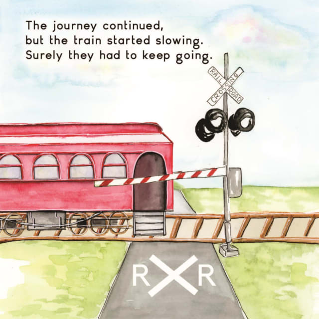
Map Rally's Journey: Position Words
A free kindergarten position words and maps lesson: an 18-minute whole-group lesson, then 15-minute small groups during centers.
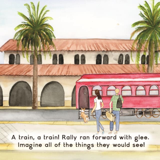
Trains Then and Now: Comparing a Station Long Ago and Today
A two-session inquiry lesson built on one question: how has taking a train trip changed since long ago? Children study two museum guides about old stations, compare them on a Venn diagram, add page 3 of Rally Takes the Train as a picture of today, then fill a then and now chart and draw a claim with evidence..
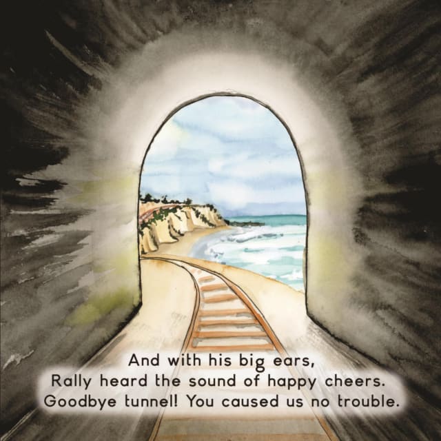
Plot the Route: Train Stations on the Coordinate Plane
A 57-minute problem-based 5th grade math lesson.
Teaching with Rally Takes the Train
Every lesson is free for classroom and homeschool use. Add the paperback to your classroom library, or review a lesson to earn a free copy if you are a credentialed teacher. Keep the journey going in about 650 free train museum guides, plan a visit with the field trip planner, or browse all lessons for educators.